Sail the Book

Description
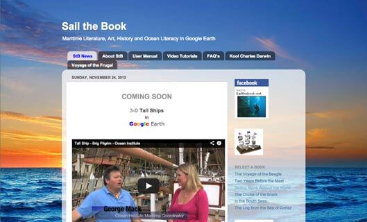
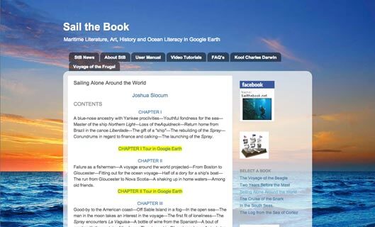
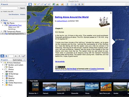
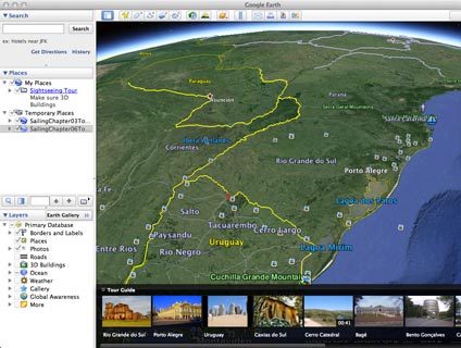
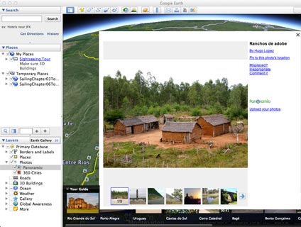
Sail The Book uses Google Earth to take the reader on a virtual journey to locations mentioned in six inspirational books of maritime nonfiction literature. The reader will be able to select a book and embark on chapter tours. The tours/chapters consist of from one to twenty Points of Interest (POIs). Each POI has an info window, with a passage from the book. At the bottom of the text is an activity page link. Activities consist of questions related to the info window passage, vocabulary, language, history and science. The later questions are colored green. These are specific Google Earth activities. “Green questions” draw on Google Earth layers, such as: Photos, Ocean, Gallery, Borders and Labels and 3D Buildings. Other Google Earth activities employ the Ruler tool, Historical Imagery and Street View.
In order to Sail The Book it is necessary to download the latest version of Google Earth and become familiar with some basics of this application.
The purpose of this project is to promote maritime literature and ocean literacy – to blend art, history, science and geography in a multidisciplinary and engaging manner. Hopefully, teachers and adventure book lovers will find the material useful and keep these works alive. I am a high school science teacher in New York State and teach Regents Physics, AP Physics, Earth Science and Marine Science.
Pricing
| Plan | Price | Details |
|---|---|---|
| Sail the Book | Free | Free for use. |