Map to Image

Description
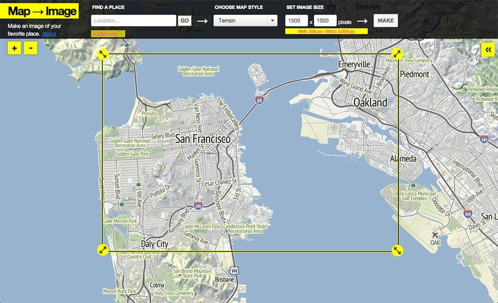
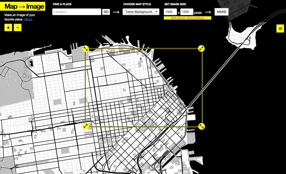
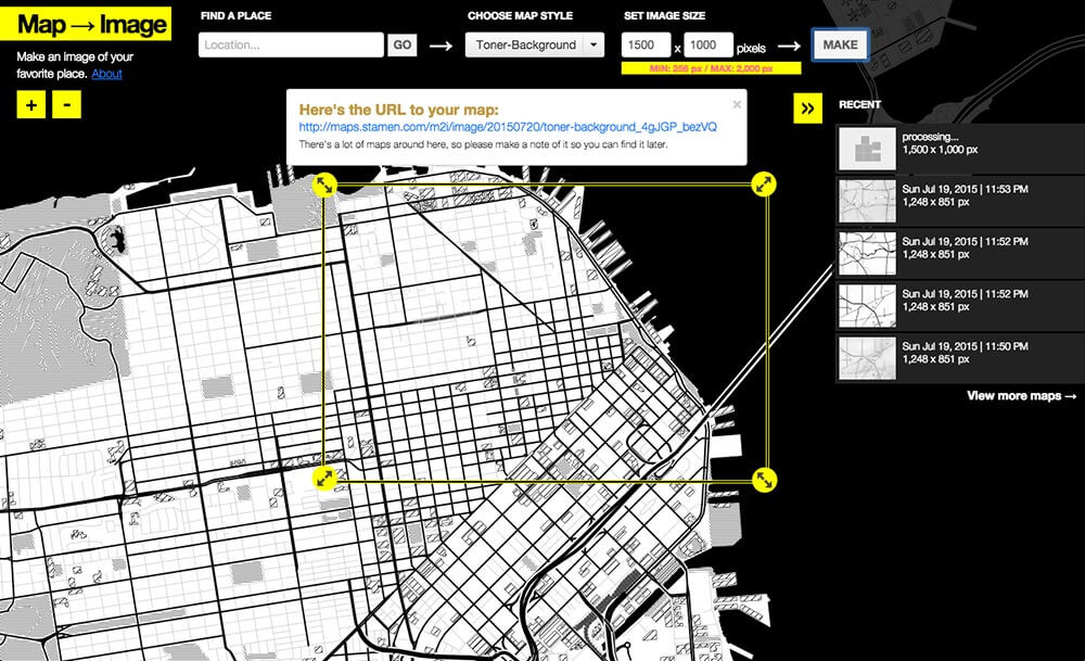
Map→Image is a utility to help you create an image from an area on a map built by Stamen Design, up to 2,000 x 2,000 pixels. It is part of CityTracking, a two-year project (2010-2012) to change the way people view, talk about, utilize digital city services, and kindly funded by the Knight Foundation. You can download or fork the (open) source code on Github.
Pricing
| Plan | Price | Details |
|---|---|---|
| Map to Image | Free | Free for use. |
Reviews
Sign in or create an account to share your experiences with this tool.
This is a great tool for generating quick and easy maps for a variety of learning aims. Maps are visually appealing, customization along a number of dimensions, and easy to make.